The collection Every map is
Every map is
a point of view.
Old coastlines. Unfinished journeys. A growing atlas of how we once saw the world, one carefully digitized map at a time.
01 map in the collection
 Interactive map
001 / Polar regions
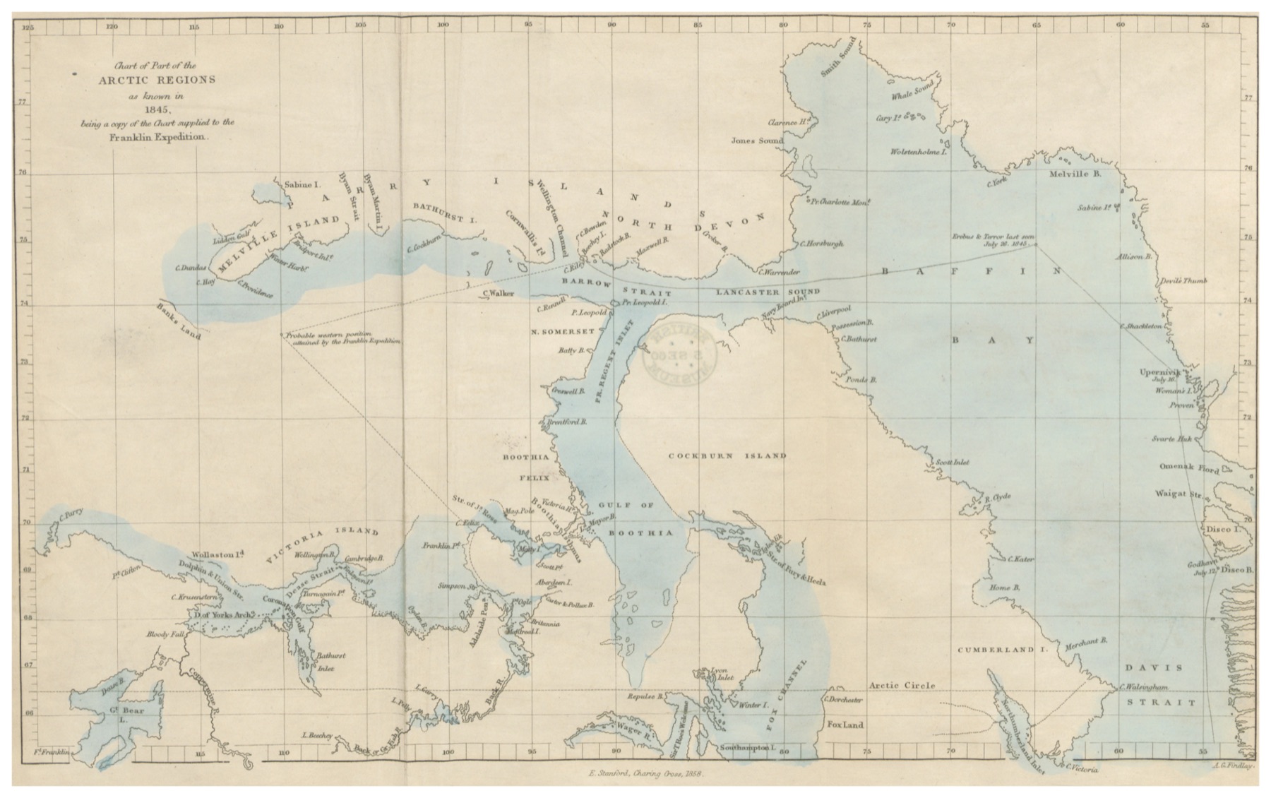
The Arctic,
as known in 1845.
A chart of a world still being pieced together. Explore the coastlines, conjectures and blank spaces inherited by the Franklin expedition.
- Published
- 1858 · London
- From
- John Brown’s The North-West Passage
- Digitization
- In progress · regional vector preview
A collection takes time.
New maps will appear here as they’re researched and digitized.
Have a chart with a story to
tell? Let’s talk ↗